The Bosphorus
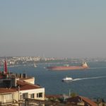
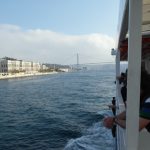
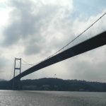
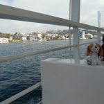
Today we did a tour of the Bosphorus. For an hour and half we saw some of the great sites that makes Istanbul the city that it is. The tour was the equivalent of $7.00 AUD. This is a great opportunity for anyone visiting this city to understand and see the division of Europe and Asia.
The name comes from Greek Bosporos, which the ancient Greeks analysed as bous ‘ox’ + poros ‘means of passing a river, ford, ferry’, thus meaning ‘ox-ford’. See http://en.wikipedia.org/wiki/Bosphorus for more information.
Dolmabahçe Palace
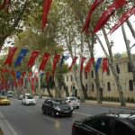
After our ferry ride and coffee, we walked along the water front to Tram at Finlike. We walked past the Dolmabahçe Palace. (See http://en.wikipedia.org/wiki/Dolmabahçe_Palace for more information) served as the main administrative centre of the Ottoman Empire from 1856 to 1922, apart from a 22-year interval (1887–1909) in which Yıldız Palace was used. There was an open day at the Palace, however we were keen to move on to see the Blue Mosque so we took a few pictures from the outside.
The Blue Mosque
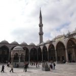
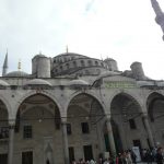
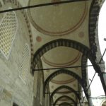
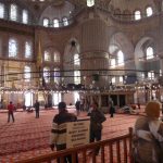
After our tram trip, we arrived at The Sultan Ahmed Mosque (Turkish: Sultan Ahmet Camii) which is an historic mosque in Istanbul. The mosque is popularly known as the Blue Mosque for the blue tiles adorning the walls of its interior.
It was built from 1609 to 1616, during the rule of Ahmed I. Its Külliye contains a tomb of the founder, a madrasah and a hospice. The Sultan Ahmed Mosque is still popularly used as a mosque. See http://en.wikipedia.org/wiki/Sultan_Ahmed_Mosque for more information.
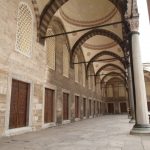
After purchasing some Fezzes we moved into the grounds of the Mosque and headed towards the visitors area. We were greeted by a young man willing to help us in the door and also invited us to come and see his carpet shop afterwards. After removing our shoes and going into the visitors area we were amazed at the building and its design. After our visit inside, we somehow lost our man from the carpet shop.
The Milion Stone
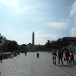
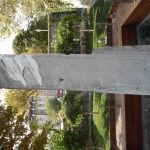
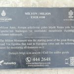
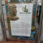
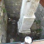
Our next stop was the the Milion Stone. The Milion, was a mile-marker monument erected in the early 4th century AD in Constantinople, modern-day Istanbul. It was the starting-place for the measurement of distances for all the roads leading to the cities of the Byzantine Empire and had the same function as the Milliarium Aureum of Rome.
We stumbled across this monument and read about its importance. Fragments were only discovered in the 60’s but interesting to say the least. See http://en.wikipedia.org/wiki/Milion for more information.
The Basilica Cisterns
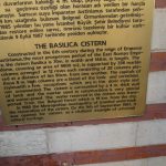
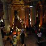
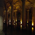
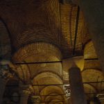
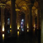
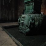
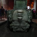
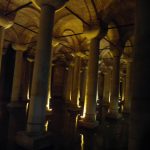
The last part of our day trek was amazing. We visited the Basilica Cistern (Turkish: Yerebatan Sarayı – “Sunken Palace”, or Yerebatan Sarnıcı – “Sunken Cistern”),which is the largest of several hundred ancient cisterns that lie beneath the city of Istanbul (formerly Constantinople), Turkey. The cistern, located 500 feet (150 m) southwest of the Hagia Sophia on the historical peninsula of Sarayburnu, was built in the 6th century during the reign of Byzantine Emperor Justinian I.
The Basilica Cistern, gives us an idea into the system that once brought drinking water into Istanbul from Thrace, an area of the south-east Balkans. For more information see http://en.wikipedia.org/wiki/Basilica_Cistern .
It was truly amazing and if you ever get the chance to come to Istanbul, do not miss visiting the Basilica Cistern.
